Followers

Saturday, 26 August 2017

Salter Rake

The forecast was good for today although around lunchtime there was a small squally shower. Other than that the day was perfect.  Today I headed off to Todmorden to walk up around following the historic packhorse path. 
That was the plan anyway – it didn’t turn out quite as planned but never mind it was a great day.The way forward was clear to start with – up Honey Hole Road, passing an old classic car on the way. 


The path was steep but pretty straight forward passing a Quaker burial ground on my right.


Eventually came out by the Shepherds Rest pub.


 From here the directions were go straight across through the stile and onto Langfield Common – the direction said after a minute bear right onto the well preserverd causeway of Salter Rake.  I couldn’t see it – lots of people were going straight up the hillside, no one was going on a path to the right.  So I decided to follow the crowd, this was half an hour of steep up hill walking. As I got near the top I realised where I was Gaddings Dam.  At least I knew where I was now.


So I decided to walk along the Dam banking to the right and then take a path down from the right-hand corner. I knew there was a path there as I’d taken that path before.  As I walked along the banking I saw a man towards the end taking his shorts off – I thought nothing of it really just assumed he’d been swimming and was drying off before getting dressed. Oh no – he proceeded to lay a towel out and lay in the sun – wearing nothing but a hat. As I walked past him I kept my eyes on the footpath and focussed on the way forward.  Surprising what you see when you’re out isn’t it. At the end I turned down and came to a familiar boulder, the path continued down to the crossroads of paths that were mentioned in the walk.
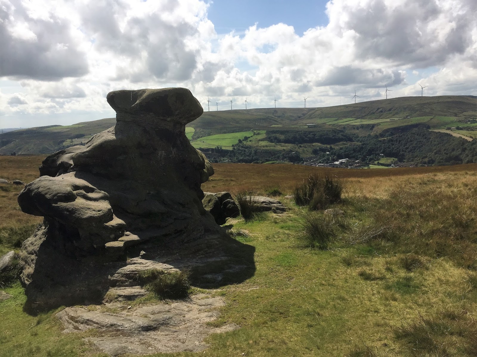
 So I was now back on track – I’d merely taken a detour up to the dam.  Turning left on the Salter rake and the stone slabs – the pack horse route taking salt over the pennines from Cheshire.  From here is was a steady walk down to a small hamlet and continuing down to a house dated 1805 where a Nobel prize winning scientist lived – Sir John Cockroft.


The way back from here was along the Rochdale Canal. The book said 4 ¼ miles but seeing as I’d gone wrong it had become a 5 ½ mile walk.  It was good I’m glad I went wrong and found Gaddings Dam again.

Sunday, 20 August 2017

Ilkley North of the River


Yesterday had been a wash out for walking I’d driven up in the dales and every time I thought that maybe it was going to fair up 10 minutes later it had rained again. Today the sun was shining and I packed some lunch and set off to meet up at Ilkley Lido with the Bradford Council Guided Walkers Group. The day was set fair and there were 16 of us a good group.  Some I recognised from previous walks I’d done with this group in the past. Phil the leader and the Ken the back-up were both people I recognised. 
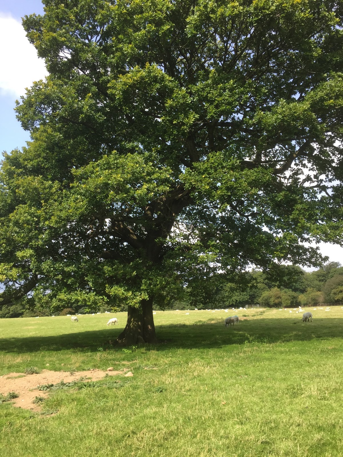
The first part of the walk was up through Middleton Woods just a steady pull emerging into a sunny field with a huge oak tree in the middle. 

We then carried on up the field to a small tarmacadam lane leading to a beautiful farm.  From here we went through a field towards Fairy Dell.  Phil suggested we keep our eyes peeled for any fairies, sadly we didn’t spot any.  


From here we arrived in a large field where we stopped for lunch. One sheep came over to see what we were up to but as soon as I got my camera out to take its photo it moved off – clearly camera shy (sheep are extremely photogenic and nearly always make a good photo for some reason). 


As we headed up the fields we looked across the heather moor and could see Beamsley Beacon in the distance. A little nearer was March Gill Reservoir and up ahead we could see two or three Red Kite hovering around. 


We eventually came onto a small lane down to another farm gate which took us back up onto the moor along a pretty boggy pathway to eventually go through as stile to drop back down onto a narrow back lane. 


  These pathways were not well used there were no trods in the fields so you wouldn’t have known they were public access just by looking.

This back lane quickly brought us into the small hamlet of Denton – every house here is just beautiful. 


From here we made our way back through the fields down onto Denton Old Road and back into Ilkley.  A lovely 8 mile walk, made up for yesterdays let-down,

Friday, 18 August 2017

The Forbidden Corner


Well the forecast was rain and there were one or two showers but it was quite warm outside and you can never tell the next valley could be sunny.  So we set off full load Mum, Dad, 4 children a dog and myself.  Today we were off to The Forbidden Corner and we were all very excited.  Iy was a nice steady run, with stormy clouds and patches of blue sky and sun.  We arrived around 10.30 and all fell out of the car.  Melanie had fessed up to booking not enough tickets and going through agonies before finally sorting it by e-mail yesterday.  So now everything was set fair. 
We put Albert in his back-pack and got Bernard out on his lead.  The plan being to give Bernard a good walk before we went into the Forbidden Corner (no dogs allowed in there).  We went back down the road and came to footpath signs.  Following the sign into a ploughed field which we carefully walked all the way round to a stile on the other side. We all merrily trotted through and spied a horse at the top end of the field and one at the bottom.  The horse at the top never moved so that was fine and we set off purposefully across the field.  Melanie leading the way with Bernard. Suddenly from the left – the horse at the bottom was galloping up towards us. I suddenly found myself with a girl on either side of me holding on and Melanie had Bernard who had adopted a strangely submissive position.  The horse circled around Melanie and reared up in front of her.  He was massive; he landed back on all fours and pranced around.  Time for a quick exit back through the stile we had just come through with the horse still prancing and rearing around us.  When we were back safely in the ploughed field Melanie’s comment was you now when then they say you should exercise enough to raise your heart rate? Well I think I’ve just and my exercise for today. We now retraced our steps back across the field and headed up towards the hill tops. 


  We were definitely in race horse country there were signs everywhere warning about young racehorses and to keep your dogs on leads. We passed a few horses coming down the bridleway we were walking up.  They were beautiful but very skittish.  When we got up to the top we could see the Middleham gallops and so we took a walk around part of them before cutting back down towards the car park – on the way we passed some starting gates which I guess they use to get the horses used to being in them before going into races proper. 


Back at the car park we had a leisurely picnic lunch before going into The Forbidden Corner, it was everything we had hoped. 


 Once we got going around we understood why you don’t get a map of the place at the entrance.  The whole thing is just a huge maze of tunnels, paths, stairs and surprises.  A map would just totally ruin the illusion.  


Finally after 2 ½ hours of going in, out up and down we stopped for an ice cream before heading back to the car. We came home in the early evening sun to a fish and chip supper to end the day.  Surprisingly we had walked 5 miles and we all needed a rest. Brilliant day I thoroughly recommend it to anyone.

Saturday, 12 August 2017

Calton

It had rained all morning and the sky was still full of rain clouds.  Not a day for up on the moors – I’ve been caught up there before in summer storms. It was also quite late when I finally set off so I decided to do a low level walk not too far away.  I headed off towards Airton to do a walk around Calton.  Not a walk I’d done before which is always exciting – you never know what you might see or come across.

The roads were pretty busy on the way there I’d forgotten the Art Exhibition Art in the Pen was on in Skipton this weekend.  Finally parked up by the side of the green in Airton.  Boots on and off I went.  The first part of this walk I was familiar with I’ve done it quite a few times before when walking to Bell Busk.

  However on reaching Newfield Bridge instead of carrying on I turned left and then took the narrow road to Calton. It was pleasant walking along this road quiet and tranquil although when I looked up the sky was still dark above me and every so often I kept thinking I felt a few drops of rain.


 It was very warm and had to take my body warmer off and back pack it.  I was so busy just wandering along I missed the gate on the left I was supposed to take through a field it took 10 minutes to retrace my steps back to the dip in the road.  To be fair the gate was more obvious to spot walking this way.  It definitely hadn’t been opened for some time as the latch was seized up.  I had to climb over and once in the field the grass was knee high.  The walk along the field by the stream was hard going. Eventually I came to the farm bridge across the steam.  The walk continued to follow the stream coming to a large barn and another gateway.
Turning left onto a rolly stone access path along here on the right was a huge beautiful barn, a small notice on a post stated that a planning application had gone in for it to be converted into two properties.  The access road would need some work on it.


  This track took me down into the small hamlet of Calton itself – a small secret place hidden away from the rest of the world just beautiful. Apparently Calton Hall was the home of John Lambert one of Cromwell’s leading Generals during the civil war.


I took a gate on the right which took me down a track to a gate and into a field crossing over a ford and following a stream around the field to a stile under some trees. 


 The path then sloped down to join the Pennine Way.  I think I ignored the book directions here as I knew where I was and so I walked back along the way I knew.  Next time I need to read the directions more carefully and follow the alternative route that was described.

Good walk, although by my calculations I walked 4 ½  miles not the 3 ¼ the book said. One to do again probably.

Saturday, 5 August 2017

Earby Landscapes


The forecast all week had been for sunshine and showers so I planned to do a walk along the canal from Greenberfield Locks – Thornton in Craven towards East Marton, but when I finally got there the small car park was absolutely full with no nearby road parking.
Turned to my book and found this walk Earby Landscapes which meant I didn’t have to drive too far to get started.  Cant remember having ever been to Earby before but it looked a nice place as I drove through looking for somewhere to park.  Eventually found a small car par and bonus it was free. 
Set off back through the village and headed up the hill past the Youth Hostel turning from the track down through some trees and over the footbridge climbing some steps and entering a field.


  I could see the stile at the other end and went across pretty quick smart seeing as the stile had a sign saying beware of the Bull.  I kept my eyes peeled and went across with racing heart.  NO sign of it thank goodness.


Crossing the second field that led to a stile into rough grass area planted up with saplings. Then there was a turn right up to a cairn and stone seat. 


  The views today were stunning. I could even make out the 3 peaks, well one of them anyway for sure.  The path continued up eventually coming to a small road – this was a confusing bit there were two cattle grids and two gates.  I went through one and over one while re-reading the book.  Eventually I worked out I should cross the second one  too to go down to Oak Slack farm. Corner stile just before the farm gate was well hidden and took some spotting. It was very narrow too.  I dropped down the field to reach Wentcliff brook at the bottom I walked along here eventually coming to a a broad track crossing over here and then across another small stream to head up alongside a clough, the path then went behind a beautiful old farmhouse.  It was intriguing as it didn’t look as though it had been abandoned too long ago, I wanted to know who lived there, why had they left, was it just going to eventually crumble away.  It seemed a shame this place was now empty.


From the farm the path led away then up to a track and across to a stile in the top corner of the field and then along another track up to a farmhouse – through a gate and onto a tarmacadamed access road.  Up at the top of the hill I turned right and along the top of a field which soon turned into an enclosed grassy track, it was pretty wet and boggy here today after the recent rain.  The path continued around some ruins of a farm called Higher Verjuice Bank the path / track continued to a gate and continued down to a stile into a field this dropped to a stile at the bottom leading along a lovely enclosed path past a house onto a drive and then back onto the road I’d driven into Earby.

Good walk 5 miles, totally unplanned but really enjoyed it.  Will go back another time for the Lock/canal walk but was definitely not disappointed with Earby Landscapes.