Followers

Saturday, 14 July 2018

Brontes In Pendle


I printed this walk off the Visit Lancashire website as its fairly close to home and looked interesting.  The walk was supposed to start in Trawden go to Wycoller and back, but when I got to Trawden there was nowhere to park, there was a Scarecrow festival and fete on and with it being a really hot day it was packed. So I went over to Wycoller and parked there to do the walk from half way round and go to Trawden and back.  

The hardest part of any walk is setting off in the right direction – I walked down to Wycoller Hall and found the path to take me up into Trawden Forest, steep steps up onto the tops- 

from here it was a fairly straight-forward walk over various stiles and through fields to eventually walk alongside Trawden brook into Trawden. 

As I seemed to have got to Trawden pretty easily and quickly I stopped for an ice- cream before setting off again up some old tram-lines. 

I then took a stile down to the left through a field and back up the opposite hill – back to a farm I’d passed on the way in to Trawden.  Again it was walking through fields and gates and over stiles – at one farm it was straight through the farmyard.  The farmer’s wife shouted go through the gate that’s the path (why don’t they put a sign so you don’t wander about in the wrong place).  The path went down to a stream where I could have gone to a waterfall at Lumb Spout – but it was hot and dry and I thought the waterfall may have even dried out with the hot weather we’ve been having so I turned left to a ladder stile in the field corner.  Eventually coming to a tarmac road to go left around Boulsworth Hill  

this is part of the Pennine Bridleway passing a signpost that said 2 ½ miles to Wycoller – it was really hot up on the hilltop with no shade and no option but to keep going – I was on familiar ground now I have walked this path before on a different walk. 


I eventually dropped down to a bridge and stile to follow a stream on my right back into Wycoller.  
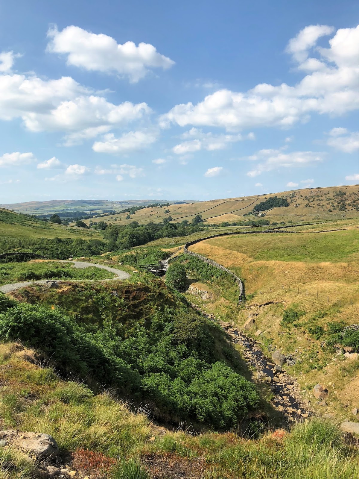

The walk said it was a pleasant 4 ½ mile walk but when I checked my fitbit this was a 7 ½ mile walk no wonder I was tired at the end of it.  It was good and I would do it again but this time I would be more prepared. 

Saturday, 7 July 2018

Earby Landscapes


The last time I did this walk the ground was really wet and in some parts it felt as if I was walking along a stream rather than a footpath.
I parked up in the small car park in Earby, at least this time I knew which way to go in the village.  Most of the shops are closed on a Saturday afternoon so nothing to linger for.  I walked up through the village alongside a small stream and turned off by the Youth Hostel. 


A few yards in and I turned down through the woods to cross a small bridge over the stream.  From here it was a long pull up towards a sunken path – here I came across a woman laid on the grass with a hat and dust mask on (first thought was I’d come across a dead person) then she said Hi as if everyone laid in the sun with masks on – I guess it must have been to do with grass pollen.  Up at the top of the path was a stone seat where I stopped had a drink and took in the views.


From here I went through a gate alongside a wall to pop out on an access road – from here I was just going to cross and take the access road down to Oak Slack when a mini pulled up by me and said there was no right of way down there and I should continue up the road to a stile.  I walked up the road – no stile.  I read the directions again. It definitely said take the Oak Slack access road.  Back down the road I went.  When I got to the farm and the small stile to go down the field I knew I was right.  Last time the bulrush part of field was sodden.  Today bone-dry.  At the bottom I turned right through the gate and up the side  of a clough.  From here I came to a beautiful old derelict farmhouse.  


The location reminds me of the old house I stayed in at Northumberland – its very similar isolated and next to a stream. Following the track I came out onto Dodgson Lane – last time I’d gone up and down here a few times trying to find the right gate – this time was no problem – up the hill near the top and through the gate – eventually appearing on heathery ground – passing the ruins of Higher Verjuice Bank.  


From here it was a case of following tracks and sunken ways all the way back down to Earby. A really good walk and back in time to listen to the World Cup on the radio.

Below is an excerpt I found about Higher Verjuice Farm – I think the moorland would make it unstable, last time the ground was so wet and boggy all around it.

The last occupier was a Gwen Garrity (possibly a relative of Freddie Garrity of Freddie and the Dreamers!) and she had, I think two sons. She moved to Lower Verjuice. The reason was that the house had become unstable and also that she had a bad experience with some bikers who came down the lane. I remember my parents chatting to her on the doorstep of the house after a family picnic quite nearby. She left around 1962 and the main part of the house collapsed around 1964 or 1965. The barn remained standing for a long time afterwards. I remember going into the house and it was still fully furnished, with a settee and chairs and a TV set, but the upstairs floor was bouncy and a bit scary, but there was still a made-up bed up there. It must have collapsed shortly after our visit.
Me and my brother and a couple of other kids spent the summer holidays of 1966 in the barn. We were visited by an owl and a rat. I'm not sure when the barn collapsed.


Sunday, 1 July 2018

Newchurch


It was a hot hot day and I was looking forward to this walk.  Slightly easier than Pendle Hill (but not much).  The car park at Barley was pretty full but I found a space got my boots on and set off up to Ogden Reservoir.  It was hot work climbing the track up to the reservoir banking. 

When I got there the reservoir were blue reflections the colour of the sky.  It was also very low I could see some the water markers down the embankment. 

I walked across the banking and through the stile into the rough pasture.

  Now I had the long climb up to the brow of Driver Height, here I stopped for a well-earned drink of water, looking across I could see the plumes of smoke from the fire on Saddleworth Moor. 

Felt sorry for the firemen who were there – in this heat without the fire it would be hard work walking across the moorland in their fire-fighting kit. Drivers Height at 1230ft/375mt is not quite so high up as Pendle Hill which is 1893ft/577mt, but still the views were impressive. 

From here I made the steep drop down to Newchurch.  I stopped off at the little church to see the gravestone of Alice Nutter and then moved on through the hamlet to take the turn off alongside some woods.  


Here on the horizon I could just make out the flat top of Ingleborough.  From here it was a slow sloping path through woods and pasture to an enclosed track which dropped back down to Barley.  Here I had an ice-cream before setting off back home. 


The book said this was 4 miles but I think it was nearer 4 ½ and today in the heat it felt like 5.  Good walk with good views.

Sunday, 17 June 2018

Little Alms Cliff


The day looked like it was going to stay fair so I rummaged through my books for a new walk and came up with this one.  The car park took some finding – eventually found it and got my boots on.  From the look of it it was a popular place for off road mountain biking.  I crossed the main road and went on the track into the woods. 

The first part was fine but then the directions were to take a path by a wall corner, I must have spent 20 minutes going up and down crossing paths in the forest to finally come across a really narrow little trod into the woods –


once I’d found the path I just stayed on it to eventually come out at the other side of the forest – over a stile to a rough sheep pasture and ahead I could see Little Alms Cliff.  


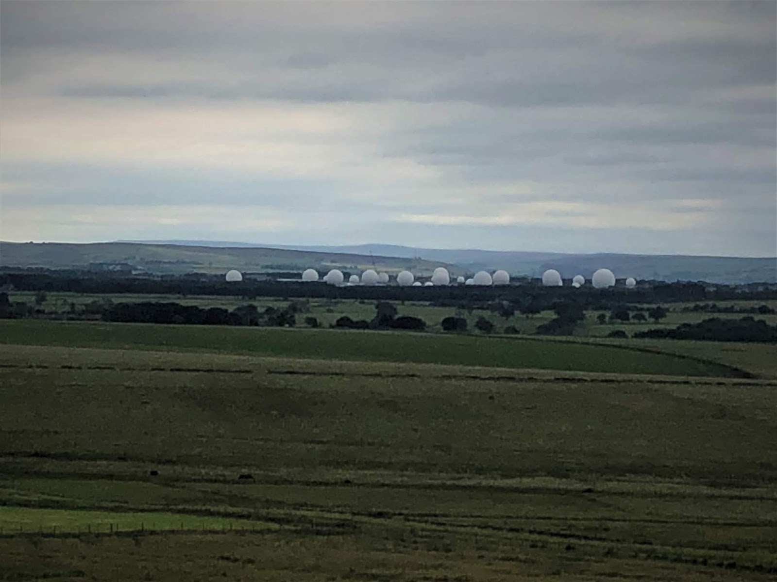
From the cliff Menwith Hill could be seen on the skyline.

  Having looked around at the views I set off back heading towards the right of the forest.  Here I followed a path outside the forest to a stile which took me back into the wood – but the path was a much better one than the one on the other side of the trees.  The path ran straight onto the road and then back into the woods to eventually join the original path I’d taken into the woods.  Good walk of about 4 ½ miles with all the up and down I did looking for the right paths at the beginning, and it had stayed fine today. 


Saturday, 16 June 2018

Kelbrook Moor


I thought I had done this walk previously about 4 years ago, before I started keeping a walking journal or blog.  I parked up in the village and set off up towards the track onto the moors.  I didn’t remember any of this walk – all I kept thinking was it was a very boggy moor so hopefully after a couple of dry weeks it wouldn’t be too bad today.  As I walked up the farm track nothing was ringing any bells for me.  
The track led through several rough pastures and by ditches and streams to eventually rise to Scald Bank and here it started to rain and went wrong as I just kept glancing quickly at the book to get the directions while trying to keep it dry. 

I dropped to the road too soon but came to the pub from the road instead of the moor.

 From behind the Black Lane Ends pub on the old Skipton-Colne turnpike road the path rose left to a stile in the wall ( I was back on track – right path and right direction and the rain was easing off).  The views were supposed to be Boulsworth Hill, Ingleborough, Penyghent, Buckden Pike and Great Whernside, not today unfortunately. 
I should have been able to see Earl Cragg at Cowling too and I couldn’t even see that. From here the paths and tracks eventually took me to Roger Moor – it was getting boggy, heathery and bulrushes were everywhere and I just kept my eyes on where I was putting my feet.  All the way round I had heard clay pigeon shooting and now as I dropped down off the moor I could see where the shooting was coming from. 
I definitely hadn’t done this walk before.  On cob lane I turned down and passed a large compound of old cars before turning right on a drive past a house into a field – from here it was a case of walking steadily down through fields back to Kelbrook village.
  A good walk but with the trailing about avoiding bogs on the moor the walk had been 5 ½ miles not the 4 ¾ the book said.  At least I was starting to dry out from the rain.

As an additional point when I got home I couldn’t find my glasses or case so assumed I must have lost them somewhere on the way round.  Anyway the next day – Sunday after my walk I decided to drive back to Kelbrook and make sure they weren’t on the verge where I’d parked.  Long shot I know, but guess what some kind person and picked them up and put them on some railings by the road.  I only spotted them on my way back to the car as I’d stopped looking in the verge and was looking up along the railings.  How lucky am I. 
Made a note in my book this is a summer walk it would just be too hard and wet and boggy in the winter months.

Saturday, 9 June 2018

Halton Height


New walk today,  a few weeks ago I drove up to find the lay-by and starting point for this walk and seeing as the weather is just perfect for doing this walk and finding my way round todays the day.  I parked up in the lay-by and it was pretty full but managed to squeeze into a space.  There were lots of cyclists out and about too.  The view looking across to Lower Barden Reservoir was lovely.  I crossed the road and set off down a wall side path through the bracken which was now springing up quickly with the good weather.  
It was a straightforward track down through a gulch and eventually heading back on the moor road by a cattle grid. 


From here I crossed over and followed a track up the side of some woods.  The track followed a wall-side up and somewhere here I must have gone wrong as I reached the top, passing a quarry with Rhododendrons in it and never hit an OS column or a cairn. . Next time I do this walk I’ll be sure to look out for it.
 
  
Instead I just continued to follow the wall along the moor top.  There were curlew flying around sounding a bit upset so they must have had a nest nearby that they were warning me off from.  At the top I could hear a cuckoo really loudly that was sat up in a tree above the quarry.  The path eventually dropped down to Eastby Gate, although I walked past it down to a stream before I realised that the gate I passed was the one I was looking for so I had to climb back up the hill. 
From here I turned to cut across the moor to a grass track heading to a row of grouse butts. 
The path then turned into a landrover track to two shooting cabins.  Here I turned left past the stone built cabin following a trod through heather and bilberry bushes. 
Lots of grouse were here and flew up in the air angrily flapping their wings when I walked past.  There were lots of buzzards circling too on the way round.  Then when I dropped down onto the firm track/bridleway I heard lots of birds and looking back there was a flock of starlings performing like a mini murmuration eventually they settled and I followed the track back to the lay-by where I’d parked.  The track back was a lot further than I thought.  The book said the walk was 3 ¼ miles but when I checked it was nearer 4 miles.  The views of Lower Barden Reservoir and Simon’s seat behind were lovely.  A really pleasant walk on a warm day.